|
Water Resource Projects
Just click on any of the pictures for larger versions; to view more pictures, click on the Row Numbers.
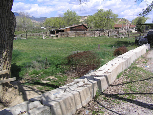
Rhino completed a floodplain delineation boundary of Capitol Creek to establish a building envelope for an owner with property adjacent to the creek. We used FEMA data, specific cross-sectional topography of 8 cross sections and HEC-RAS modeling.
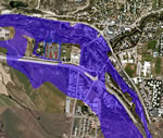
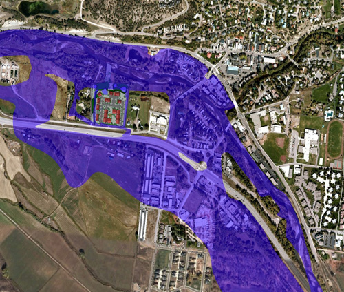
Two-dimensional modeling with FLO-2D software was utilized to determine flow depths, velocities, and flood hazard mapping of properties in the area inundated by the split flow. The final product of this ongoing model will likely result in a revised FEMA Flood Insurance Rate Map.
The flood flow path of the Roaring Fork River through the Town of Basalt was altered by the construction of the Colorado Highway 82 Bypass Bridge. A large amount of the flood flow in the Roaring Fork River splits off from the main channel at this point and flows through a section of the Town of Basalt situated south of the main channel. Due to the complex nature of the flow, previous one-dimensional modeling with HEC-RAS was inaccurate.

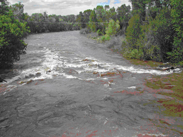
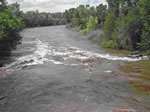
Hubbard Gulch is situated just west of Railroad Avenue in Rifle and is a tributary to the Colorado River. A HEC-RAS floodplain and floodway model was first created to match an outdated HEC-2 analysis per FEMA requirements. Utilizing field surveyed cross sections, updated floodplain and floodway models were created for a reach of gulch and were tied into existing cross sections established in the FEMA Floodplain Information Report. These models were all reviewed by FEMA and a LOMR was approved to reflect updated floodplain boundaries on the property.
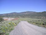
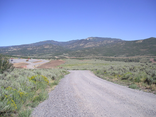
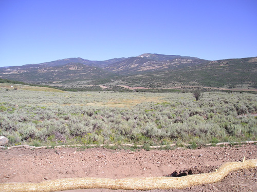
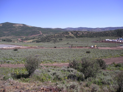
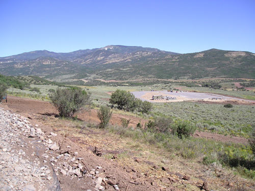
The Harrison Creek Project is an environmentally sensitive project that was constructed on undisturbed mountain slopes of eastern Mesa County.
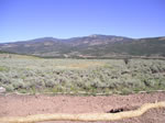
Two large gas exploration pads and access roads were constructed for operation facilities; the pads were located in a undisturbed wild land drainage basin adjacent to a perennial stream.
Thumbnail panels:
|
|
|
|